GIS & RS Services
Central GIS Directorate, BWDB is Dedicated offfice for GIS| RS| Mathematical Modelling studies under BWDB

GIS | RS Showcase
Aims at GIS| RS| Mathematical Modelling based learning and assessment for sustainable planning and design of hydraulic structures in projects under BWDB.
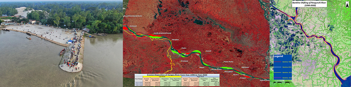
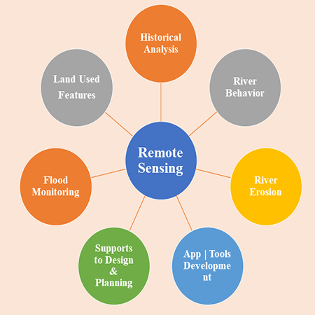
Analysis of river morphology, Flood Extend Map for Early Flash Flood or Monsoon Flood from cloud-based data and from multispectral satellite images.
Preliminary assistance to design of hydraulic structures like regulator, sluice, inlet/ outlet with catchment delineation or mathematical modelling from Digital Elevation Model (DEM).
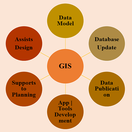
Smart GIS| RS Application & Tools
Central GIS Directorate (CGISD), BWDB builds applications & software tools for GIS | RS | Mathematical model studies.
Some of the developed Mapping Applcation are listed as below: