Welcome
Central GIS Directorate, BWDB is Dedicated offfice for GIS| RS| Mathematical Modelling studies under BWDB

Functionalities
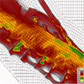
GIS | RS| Mathematical Modelling
Aims at GIS| RS| Mathematical Modelling based learning to ensure supports for sustainable planning and design of projects under BWDB.
Prepare and Maintain of Geospatial Database and data sharing among different offices under BWDB.
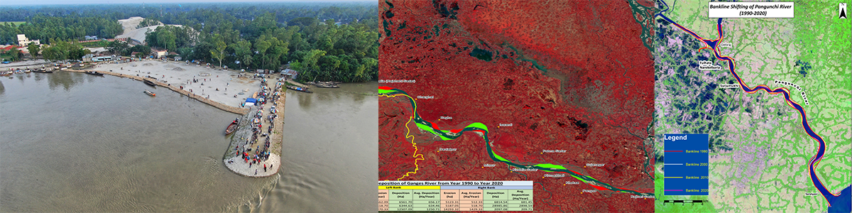
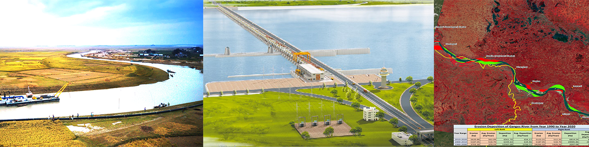
Develop and Maintain of Geo-Spatial features including Polders, Haors, Rivers, Hydraulic Structures and Archive Remotely Sensed Images for Project Planning and Design Implementation.

Head of Office
A M Mustofa Sorwar
Superentending Engineer
Mr. A M Mustofa Sorwar joined Central GIS Directorate, BWDB as Superintending Enginner in 2020.
Service & Supports
Central GIS Directorate, BWDB made its debut in 2019 AD with a view to play supporting role in structural and non-structural management of projects under BWDB utilizing Geographic Information Systems (GIS), Mathematical Modeling and modern GIS technology for different wings of BWDB.


Remote Sensing
Assesment of Remotely Sensed or Satellite based Images are widely used for assessment under different projects.